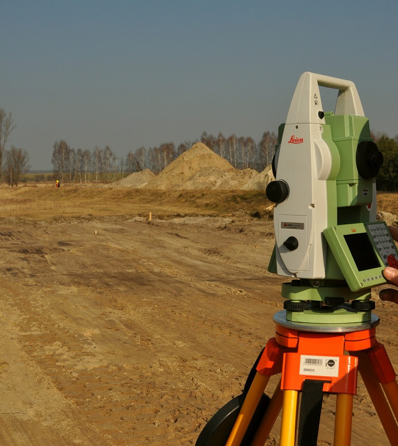
Archives: Services

Service Overview

In most cases when home owners or builders want to improve the property structurally, such as:

  • constructing a new building
  • making a home addition
  • proposing a new concrete drive/parking lot
  • installing in ground pool
  • major landscaping design with grading

the county building department will require to have a construction siteplan of what you plan on doing.

Construction siteplans in Atlanta especially in Fulton, Dekalb, Cobb counties must show following items:

  • boundary of the property with bearing and distances
  • all the existing locations on the land parcel (buildings, driveways, decks, patios, etc)
  • topography (xisting elevation contours and proposed contours, how much dirt will be removed and how much to be brought)
  • trees including the diameter dimensions and species (hardwood or pine trees)
  • utilities (sewer, water, gas, electricity, water wells if apply)
  • easements (drainage, sewer, power and others)
  • zoning (with building setbacks and other restriction per zoning category)
  • proposed elements (new building, additions, etc)
  • lot acreage and lot coverage (including impervious area and % ratio)

These are the main items, but there are many other details that are required to be on the Construction siteplans in Metro Atlanta counties and we at Survey Land Express always follow the checklist from the Building Departments to make sure we show all necessary details. We want to deliver absolutely accurate Construction Siteplan to you as a customer that you receive a building permit at the first visit to the counties building permit office. By using siteplan checklist we make sure that we show everything correctly and what the inspectors at the county are looking for.

Contact Survey Land Express Now!

Name(Required)

Boundary Survey for Large Acreage

Results clients get when they call Survey Land Express and order boundary survey:

In the field:

  • property corners are identified and marked with pink flagging for homeowners to see. Also it helps all other Atlanta Land Surveyors to find and identify property corners when they do land surveying work on the subject property or adjacent properties.
  • property line staking upon request

On the survey plat given to the client following items are shown:

  • property lines with bearing and distances
  • all the improvements including house, driveway, fences, walk ways, decks, patios, sheds
  • drainage pipes and sewer lines along with appropriate easements when they are located on the property or effect the property
  • encroachments (if exist)
  • boundary overlaps and gaps (if exist)
  • reference to deeds and plats that were used

BOUNDARY SURVEY
The definition of the phrase is the actual physical extent of property ownership on the ground usually marked by iron rods, rebars, concrete monuments in the ground, rocks with chisel marks, tacks in trees, OTP – open top pipes, axles and others. Practicing Atlanta Boundary Surveys we typically see ½”rbr (steal rebars) or 1.0″ otp (open top pipes) as boundary markers at the corners.

A person or landowner can legally convey only the quality and quantity of interest to which he or she has title, and boundary survey plats show land dimensions and configurations. We at Survey Land Express suggest you to keep a copy of a boundary survey plat in your folder at all times, from the day you receive the title of the real property to the day you pass title to somebody else.


Educational Resource
Definition according to Black’s Law Dictionary, Eight Edition, written by Bryan A. Garner, Editor in Chief

LAND BOUNDARY:
The limit of a landholding, usually described by linear measurements of the borders, by points of the compass, or by stationary markers.

Contact Survey Land Express Now!

Name(Required)