Our Services
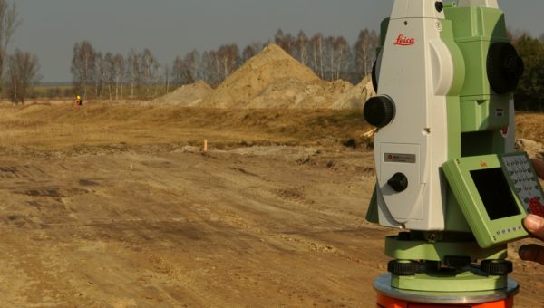
High Quality Surveying
Services You Need
Boundary Survey (large size acreage)
Land survey for large parcels of land for development purposes such a residential subdivision or commercial complex.
Read More
Construction Siteplan
Proposed conditions, construction siteplan is required by municipalities in order to receive a building permit.
Read More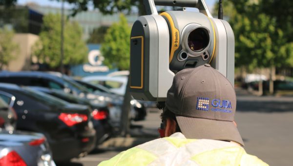
Elevation Certificate
An elevation certificate is a document that lists a building’s location, elevations, flood zone according to FEMA and is used to determine if the house is in the flood zone or not for building purposes and to determine flood insurance rates.
Read More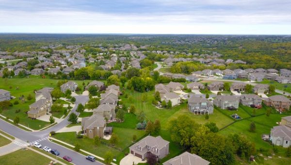
Subdivision
A recorded plat that shows residential or commercial complex, all the lots in the development. That is an official record that real estate attorneys use for closings.
Read More
Lot Split or Lot Consolidation
Subdividing one piece of property into two pieces of property. Or combining multiple parcels into one, usually is done for development purposes.
Read More
Construction Staking
Staking on the ground design points where the improvements such as house, driveway, road will be built.
Read MoreAbout Us
We at Survey Land Express help you make the right decision when you buy the property by doing a land survey to help you design and build your dreams.
We help you make an informed decision when buying a parcel of land. When you buy a house you really buy a parcel of land with everything on it, so when you have a real estate closing you get a deed in your name with land legal description. There might be easements, pipes, encroachments, overlaps and gaps that are hard to find out about unless you have a land survey plat. And we do just that.
When it comes to construction projects, we measure Existing Conditions and Design Proposed conditions which is often called Construction Siteplan and with that you get your building permit. And throughout the construction project we help you stake the house and other improvements making sure they go in the right places within your lot and do final asbuilts so you get Certificate of Occupancy to move in or sell property. We work on Single Family Residential Lots and large Subdivisions projects, Commercial sites where we stake the roads, utilities and all other improvements.

57000


Why Choose us
Do You Need a Survey?
Here are the various types of customers that often need the services of a surveyor. Finding out after the completion of your project that property lines or stake points for your building are in the wrong location can be an expensive situation to remedy.
Builders
Real Estate Attorneys
Real Estate Agents
Banks
Demolition Companies
Engineers
Arborists
Inspectors
Title Companies
Expeditors
Appraisers
Insurance companies
What Are Our Customers Saying?
Get a free quote for any land survey project
Contact us
Have a question?
Land survey is not required for a real estate closing. It is highly recommended because you don’t know for sure where the improvements are exactly. Georgia is a buyer beware state. It is a law that puts responsibility on the buyer to learn of any defects or problems about the homes and land.
Yes, usually you need to have the Existing conditions survey and proposed conditions survey called Siteplan to get a building permit.
he price depends on many different factors, level of details, site location, configuration, size. For example if you plan to just buy a house and move in, without any construction plans in mind in this case you need a Boundary survey done. (survey drawing will show boundaries, improvements such as house, driveway, fences, walls, easements)
If you plan to build an addition, pool, walls, landscape done, you need Existing conditions survey (boundaries, all improvements, topography, trees, utilities, setbacks, adjacent houses, easements, zoning requirements)
The best way to have this question answered is to fill out our online quote form and within 24 hours we will get you price and time.
An elevation certificate is a document that lists a building’s location, lowest point of elevation, flood zone & other elevation details for utilities, according to the FEMA. It is used to help determine flood insurance rates.
Some of Our Satisfied Clients